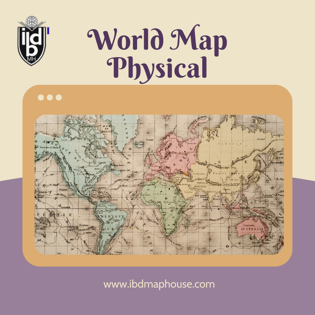
A world map physical is more than just a collection of lines and labels. It’s a visual representation of our planet’s vast landscapes, capturing the diverse physical features that shape our world. From towering mountain ranges to expansive deserts, lush forests to winding rivers, a physical world map provides a window into the natural wonders of Earth.
Understanding Physical Geography
Physical geography is the branch of geography that deals with the natural features and processes of the Earth. It includes the study of landforms, climate, vegetation, and bodies of water. A world map physical highlights these elements, offering a comprehensive view of the planet’s terrain.
Major Features on the World Map Physical
1. Mountain Ranges:
The Himalayas: Located in Asia, the Himalayas boast the highest peaks in the world, including Mount Everest. These mountains are a result of the collision between the Indian Plate and the Eurasian Plate.
The Andes: Stretching along the western coast of South America, the Andes are the longest continental mountain range in the world. They influence the climate and ecosystems of the region.
2. Deserts:
The Sahara: Covering much of North Africa, the Sahara is the largest hot desert in the world. Its vast expanse of sand dunes and rocky plateaus is a defining feature of the African continent.
The Gobi: Situated in Asia, the Gobi Desert spans northern China and southern Mongolia. It’s known for its harsh climate and unique landscapes, including sand dunes and mountains.
3. Forests:
The Amazon Rainforest: The largest tropical rainforest on Earth, the Amazon spans several countries in South America. It is home to an incredible diversity of plant and animal species.
The Taiga: Also known as the boreal forest, the Taiga stretches across northern Europe, Asia, and North America. This vast forested region is characterized by coniferous trees like spruce, pine, and fir.
4. Rivers:
The Nile: Flowing through northeastern Africa, the Nile River is the longest river in the world. It has been a lifeline for civilizations throughout history, providing water, food, and transportation.
The Amazon River: The second longest river, the Amazon, flows through South America. It carries more water than any other river, supporting the rich biodiversity of the Amazon Rainforest.
5. Oceans and Seas:
The Pacific Ocean: The largest and deepest ocean, the Pacific covers more surface area than all the landmasses combined. It’s home to the Mariana Trench, the deepest part of the world’s oceans.
The Mediterranean Sea: Bordered by Europe, Asia, and Africa, the Mediterranean Sea has played a crucial role in the history of human civilization, serving as a major route for trade and cultural exchange.
The Importance of Physical Maps
World map physical are essential tools for understanding our planet. They provide valuable information for various fields, including environmental science, geology, and urban planning. By illustrating the physical characteristics of regions, these maps help in predicting weather patterns, planning infrastructure projects, and managing natural resources.
How to Read a Physical World Map
Reading a world map physical involves understanding the symbols and colors used to represent different features:
Mountains and Elevation: Elevation is usually indicated by color gradients, with darker shades representing higher altitudes. Contour lines may also be used to show changes in elevation.
Bodies of Water: Rivers, lakes, and oceans are typically shown in shades of blue. The depth of water bodies can be indicated by varying shades, with darker blues representing deeper areas.
Deserts and Plains: Deserts are often marked in sandy or yellow tones, while plains and grasslands might be shown in green or light brown.
Conclusion
A world map physical is a gateway to exploring the natural wonders of our planet. By highlighting the diverse landscapes and features that define Earth, these maps offer a fascinating glimpse into the complexity and beauty of the world we live in. Whether for education, exploration, or planning, physical maps remain invaluable tools that connect us to the geography of our home. So, the next time you look at a world map, take a moment to appreciate the intricate tapestry of mountains, rivers, forests, and deserts that make up our extraordinary planet.